
Payl:Iran location map.svg

Size of this PNG preview of this SVG file: 672 x 600 ka mga piksel. Uban pang mga resoluyon: 269 x 240 ka mga piksel | 538 x 480 ka mga piksel | 861 x 768 ka mga piksel | 1,147 x 1,024 ka mga piksel | 2,295 x 2,048 ka mga piksel | 1,200 x 1,071 ka mga piksel.
Tibuok resolusyon (SVG nga payl, nominally 1,200 × 1,071 pixels, size sa payl: 299 KB)
Mubong sugid:
| Deskripsyon |
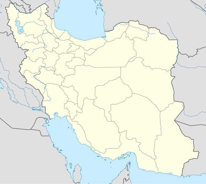
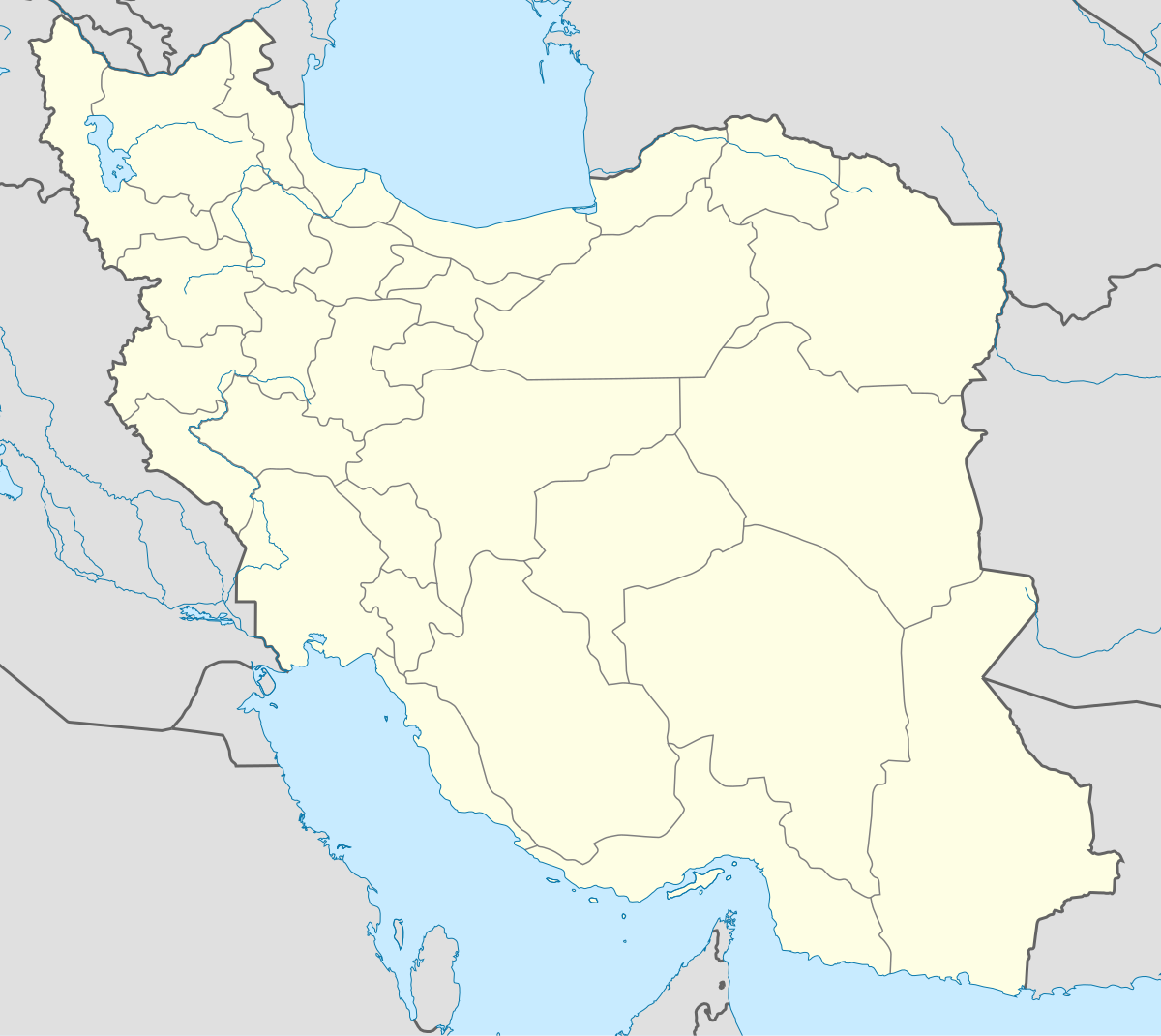
English: Location map of Iran.
Equirectangular projection. Stretched by 118.0%. Geographic limits of the map: * N: 40.0° N * S: 24.5° N * W: 43.5° E * E: 64.0° EMade with Natural Earth. Free vector and raster map data @ naturalearthdata.com. |
| Petsa | |
| Gigikanan | Kaugalingong trabaho |
| Tagsulat | Uwe Dedering |
| Other versions |
Derivative works of this file:
|
| SVG genesis | This W3C-invalid map was created with Adobe Illustrator, and with Inkscape. |

Pagtugot
I, the copyright holder of this work, hereby publish it under the following licenses:
This file is licensed under the Creative Commons Attribution-Share Alike 3.0 Unported license.
- Libre ka:
- sa pagsabwag – sa pagkopya, pag-apod-apod ug pagsabwag sa hinimo
- sa pag-remix – sa pag-adap sa binuhat
- Ubos sa mosunod nga mga kondisyon:
- atribusyon – Kinahanglan nimo nga hatagan ang angay nga kredito, maghatag usa ka link sa lisensya, ug ipakita kung adunay mga pagbag-o. Mahimo nimo kini buhaton sa bisan unsang makatarunganon nga paagi, apan dili sa bisan unsang paagi nga nagsugyot nga gi-endorso ka sa licensor o ang imong paggamit.
- share parehas – Kung imong gi-remix, gibag-o, o gibase sa materyal, kinahanglan nimo nga iapod-apod ang imong mga kontribusyon sa ilawom sa parehas o katugma nga lisensya sama sa orihinal.

|
Gitugot ang pagkopya, pag-apud-apod o/ug pag-usab ning maong dokumento ubos sa mga termino sa GNU Free Documentation License, Version 1.2 o mas bag-ong bersiyon nga gimantala sa Free Software Foundation; nga walay Invariant Sections, walay Front-Cover Texts, ug walay Back-Cover Texts. Ang kopya sa lisensiya gilakip sa bahin nga giulohang GNU Free Documentation License. |
You may select the license of your choice.
Kaagi sa payl
I-klik ang petsa/oras aron makit-an ang hulagway sa payl niadtong panahona.
| Petsa/Takna | Thumbnail | Mga dimensyon | Tiggamit | Komento | |
|---|---|---|---|---|---|
| kasamtangan | 07:59, 22 Oktubre 2013 | | 1,200 × 1,071 (299 KB) | NordNordWest | Reverted to version as of 17:55, 15 April 2013; no reason for change given |
| 13:44, 21 Oktubre 2013 |  | 1,200 × 1,071 (640 KB) | Ekivalan | Reverted to version as of 17:38, 12 April 2013 | |
| 13:43, 21 Oktubre 2013 |  | 1,200 × 1,071 (640 KB) | Ekivalan | Reverted to version as of 17:38, 12 April 2013 | |
| 17:55, 15 Abril 2013 |  | 1,200 × 1,071 (299 KB) | NordNordWest | according to http://images.persianblog.ir/516041_B0b76ypr.jpg + Tabas -> South Khorasan province | |
| 17:40, 12 Abril 2013 |  | 1,200 × 1,071 (640 KB) | Yamaha5 | Reverted to version as of 20:08, 11 July 2010 | |
| 17:38, 12 Abril 2013 |  | 1,200 × 1,071 (640 KB) | Yamaha5 | Reverted to version as of 20:08, 11 July 2010 in all maps khorasan is like past! | |
| 11:30, 17 Marso 2013 |  | 1,200 × 1,071 (294 KB) | NordNordWest | upd | |
| 20:08, 11 Hulyo 2010 |  | 1,200 × 1,071 (640 KB) | Uwe Dedering | 31. province Alborz | |
| 17:44, 18 Pebrero 2010 |  | 1,200 × 1,071 (705 KB) | Uwe Dedering | Bahrain above water, no disputed countries | |
| 13:00, 18 Pebrero 2010 |  | 1,200 × 1,071 (709 KB) | Uwe Dedering | {{Information |Description={{en|1=Location map of Iran. Equirectangular projection. Strechted by 118.0%. Geographic limits of the map: * N: 40.0° N * S: 24.5° N * W: 43.5° E * E: 64.0° E Made with Natural Earth. Free vector and raster map data @ |
Mga paggamit sa payl
More than 100 pages use this file. The following list shows the first 100 pages that use this file only. A full list is available.
- Amol
- Ark
- Arkhashan
- Azna
- Bagha
- Bahrain
- Bal
- Bala
- Bam
- Ban
- Bane
- Bangi
- Bar (pagklaro)
- Baro
- Bel
- Bent
- Boljak
- Bukan
- Būz Dāgh
- Castle Hill
- Cham
- Chambarak
- Dali
- Delijan
- Dinar
- East Point
- Gamichi
- Gar
- Gargur
- Gat
- Gati
- Gaz
- Gohar
- Gora Kara-Dag
- Gulshan
- Hand
- Hari
- Ilija
- Inner Anchorage
- Jabal Barzīn
- Jaz
- Jova
- Kabli
- Kal
- Kalagar
- Kalin
- Kara
- Kara Agach
- Karasu
- Karaul Tepe
- Karna (pagklaro)
- Khairābād
- Khalaj
- Khānūq
- Kodar
- Kom
- Kor
- Kuna (pagklaro)
- Kurucha
- Laylān
- Luma (pagklaro)
- Līr
- Mahan
- Maksa
- Mali Sar
- Mantash
- Marakan
- Marash
- Mariner Shoal
- Mark
- Mazar
- Mazār
- Mushanka
- Nashar
- Pal
- Park
- Parpar
- Qara Su
- Qizil Dāgh
- Rast
- Raz
- Rey
- Ruj
- Saran (pagklaro)
- Sek
- Send
- Senjik
- Senna (pagklaro)
- Shirak
- Shiraz
- Shirvan
- Table Hill
- Tang
- The Flat
- Zar
- Zavat
- قره دره
- قزل داغ
- ليلان
- Ḩalab
View more links to this file.
Global nga paggamit sa payl
Kining ubang wiki naggamit ning maong payl:
- Paggamit sa af.wikipedia.org
- Paggamit sa als.wikipedia.org
- Paggamit sa an.wikipedia.org
- Paggamit sa ar.wikipedia.org
- محمد بن إسماعيل البخاري
- طهران
- صحيح مسلم
- محافظات إيران
- فخر الدين الرازي
- كأس آسيا 1968
- كأس آسيا 1976
- مسلم بن الحجاج
- قالب:خريطة مواقع إیران
- مشهد
- زلزال بم 2003
- تفجيرات زاهدان 2010
- زلزال طبس 1978
- بطولة آسيا للناشئين تحت 16 عاما 2012
- قائمة المفكرين المسيحيين في العلم
- مرتضى الأنصاري
- زلزال تبريز 2012
- شعيطة (رامشير)
View more global usage of this file.